Apple could be using drones to improve Apple Maps data
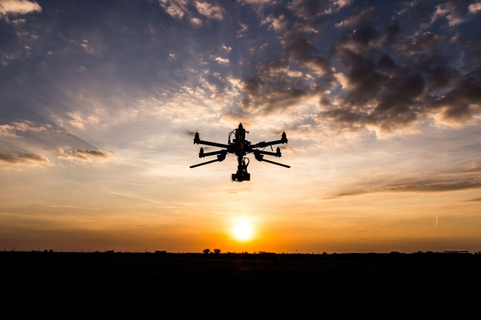 Apple is putting a lot of effort to improve its Apple Maps data and design. According to a new report from Bloomberg, the company plans to use drones to track changes and improve mapping data over time. It would apparently be faster to use a fleet of drones rather than vans with sensors. Apple already admitted that mapping data is a harder problem than the company first anticipated. You need… Read More
Our Score